Geographe Bay, Australia
| Coordinates | 33.65°S, 115.35°E |
| Wind | SW/S sea breeze, 12–22 kt |
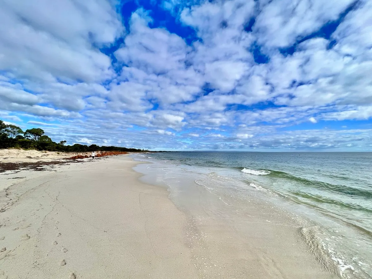
| Water | Flat behind Cape Naturaliste; seagrass meadows |
| Relaunch room | Contained north-facing bay |
| Rules | Ngari Capes Marine Park; respect zones |
| Level | Beginner–advanced |
The short version
Geographe Bay is a north-facing embayment on the coast of southwest Western Australia, with the town of Busselton on its shore. Because it sits behind Cape Naturaliste, the water inside the bay stays flat even when swell is pounding the capes outside — a natural filter that gives you flat water for progression. The wind is a SW/S thermal sea breeze, 12–22 kt, running through the southern-hemisphere summer from about November to March.
Be clear on one point before you plan a trip: no documented parawing sessions here are on record. What follows is a flat-water assessment inferred from the spot’s kite and wing record and its geography — not a report of proven parawing riding. It is a good candidate, not a settled fact.
Why it works, and the catch
The geometry is the whole story. A north-facing bay behind a headland gives you sheltered, flat water inside while the open coast takes the swell, and Bunker Beach in particular stays flat inside. That makes it a contained, low-risk venue for a stashed wing — if you drop it, you are inside a bay, not out on an exposed coast.
The catch is underwater. Geographe Bay has extensive seagrass meadows, and weed is the main nuisance and hazard here. A foil collects seagrass fast, and a fouled foil stalls, so this is a spot where you pick your line and clear the foil when it loads up. If you are learning to hold a clean line, riding upwind is the relevant skill; and before you rely on drifting back to shore, read self-rescue and drift.
Wind and season
The working window is the summer sea breeze: November through March, most reliably December to February. The breeze is thermal at 12–22 kt, so it typically builds through the afternoon rather than blowing hard from morning. That mid-range strength suits a broad quiver — run the parawing size calculator against the forecast to pick a size.
Getting there and rules
It is easy to reach: fly into Busselton (BQB) or Perth (PER) and drive. Busselton and Dunsborough are tourism towns with a jetty, restaurants and a southwest WA kite and wing community, and the spot pairs naturally with a Margaret River trip. The bay lies within the Ngari Capes Marine Park, so respect the posted zones.
For a nearby flatter comparison or a different season, browse the flat-water spots hub or use the spot finder. And if you do ride a parawing here, send your notes — first-hand sessions are what turn this analysis into a documented profile.
FAQ
Is Geographe Bay good for flat-water parawing?
It should be. The north-facing bay stays flat inside even when swell hits the capes, and it is a contained, low-risk venue for progression. But this read is inferred from kite and wing use — documented parawing sessions are not yet established here.
What is the main hazard?
Seagrass. Extensive seagrass meadows are the main nuisance, and weed fouling the foil is the thing to watch. Bunker Beach stays flat inside the bay.
When does it work?
The SW/S sea breeze runs through the southern-hemisphere summer, November to March, at 12–22 kt. It is thermal, so expect the breeze to build through the day.
How do I get there?
It is on the coast of southwest WA at Busselton. Fly into Busselton (BQB) or Perth (PER) and drive; it is a tourism town you can combine with a Margaret River trip.