Waddell, USA
| Coordinates | 37.096°N, 122.277°W (Waddell Creek, north of Santa Cruz) |
| Wind | Side-shore NW, best spring–summer |
| Water | Cold; surf best on SW swell with NE offshore |
| Relaunch room | Open beach/reef, but strong current and drift |
| Rescue | Exposed break — rips, rocks and sharks; self-reliance essential |
| Rules | Established windsports beach |
| Level | Expert |
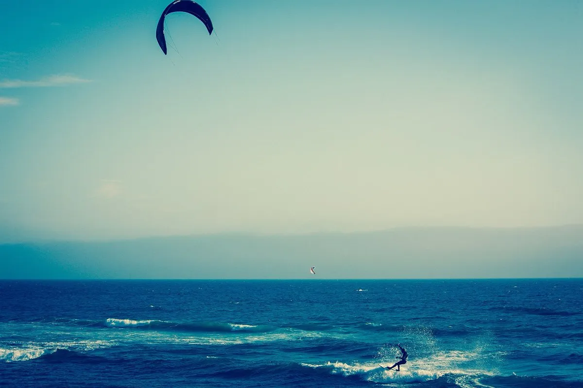
Waddell Creek, near Scott Creek on the Bay Area coast north of Santa Cruz (around 37.096°N, 122.277°W), is a classic Northern California wind-and-wave beach/reef. The surf is best on a SW swell with a NE offshore, and it has a long history as an established windsports beach. The side-shore NW wind and rolling wave read as a plausible parawing setup. What it does not have is a documented parawing track record — or a forgiving margin for error.
Is Waddell actually a parawing spot?
Be honest about the evidence. The records here are windsurf, kite and wingfoil — decades of them — but not parawing. No published parawing session confirms Waddell for a stashed wing. The assessment below is inferred from that windsports history, not from proven parawing riding.
The ingredients that matter for a stash-and-surf loop are present: side-shore NW wind so you can power out and surf back, and an open beach/reef with room to redeploy. But the hazard stack is what defines this spot.
Hazards
Surf-forecast’s own break note is blunt: “watch out for rips, sharks and rocks.” Waddell sits inside the “Red Triangle,” where white-shark presence is a documented reality, not folklore. Add cold water, strong current and drift, and submerged rocks, and you have a venue that is expert-only for any foiling discipline — and more so for a parawing, where the wing disappears into a waist bag and is useless as a rescue signal. Do not ride it alone, and drill your self-rescue and drift cold before you go.
Wind and season
The side-shore NW wind is most reliable in spring and summer. The catch is that the best surf wants a SW swell with a NE offshore, which does not always line up with the wind window — so consistent parawing-quality days are the exception, not the rule.
Before you go
Waddell is a real wind-and-wave venue but an unforgiving one, and unproven for parawing. Use the spot finder to weigh it against documented wave spots, and size conservatively with the parawing size calculator for the spring–summer NW range.
FAQ
Is Waddell Creek good for parawing foiling?
It has the side-shore NW wind and wave a parawing session needs, but the hazards make it expert-only, and no documented parawing session exists — so any assessment is inferred from its windsports history, not proven parawing riding.
When is Waddell Creek best for wind?
Spring and summer bring the most reliable side-shore NW wind. The surf itself is best on a SW swell with a NE offshore, but the two do not always coincide.
Is Waddell Creek dangerous?
Yes — it sits in the 'Red Triangle' with confirmed white-shark presence, plus rips, submerged rocks, cold water and strong current. It is an expert-only venue and not a place to learn.
Where exactly is Waddell?
Waddell Creek is on the Bay Area coast north of Santa Cruz, around 37.096°N, 122.277°W, near neighbouring Scott Creek.